-40%
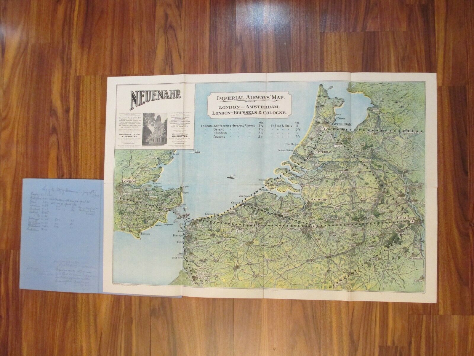
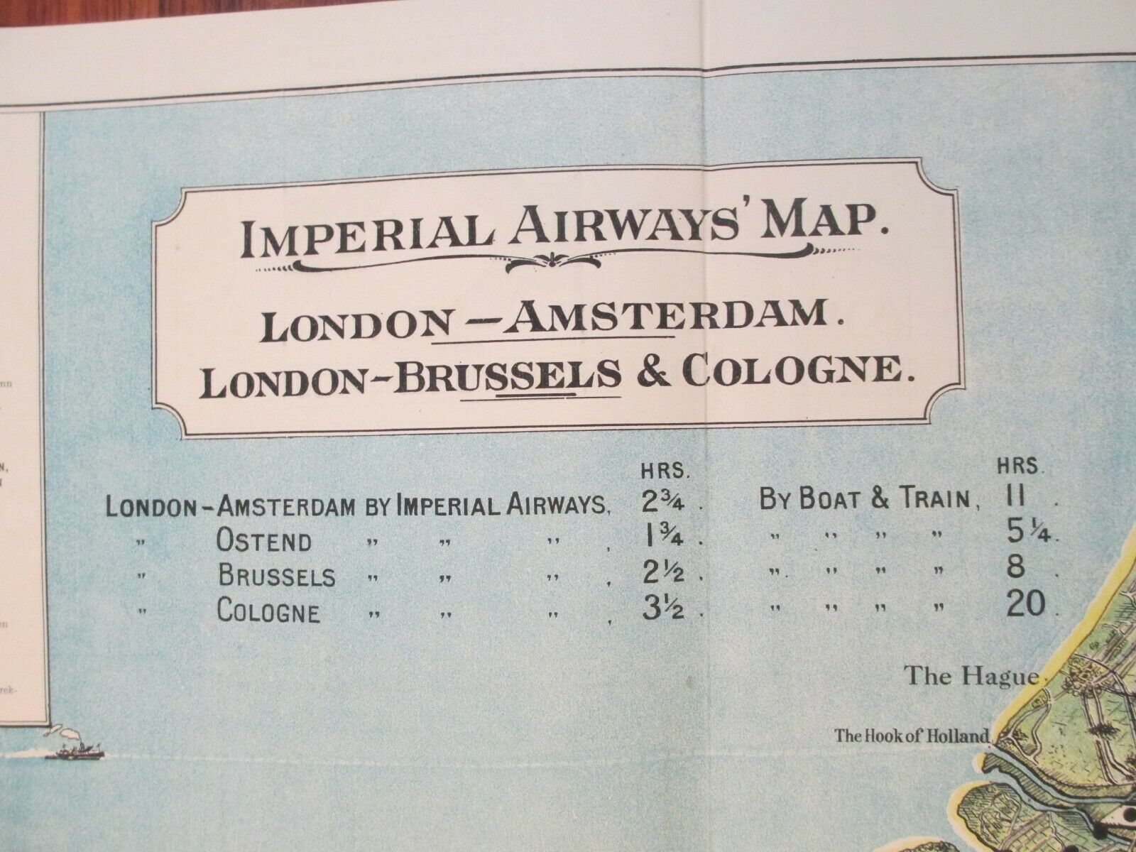
Vtg Imperial Airways Route Map - London - Ostend, Brussels, Cologne, Amsterdam
$ 79.2
- Description
- Size Guide
Description
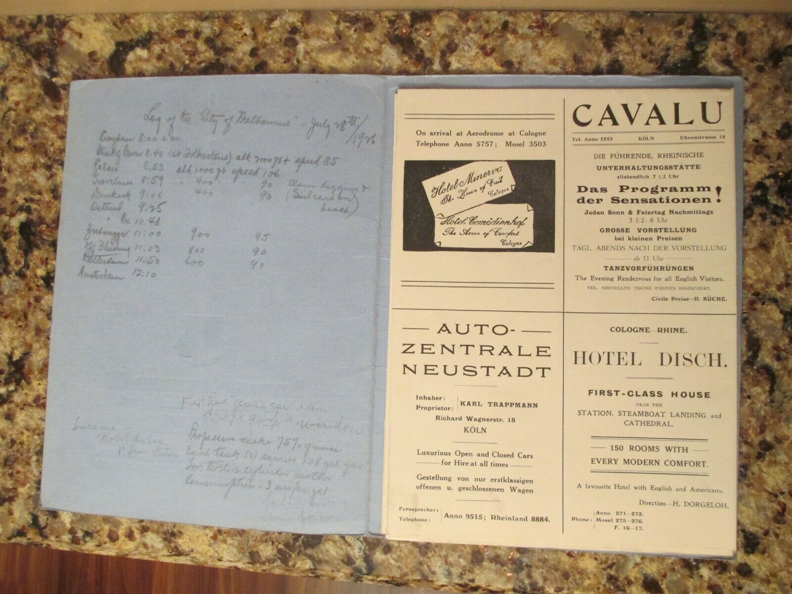
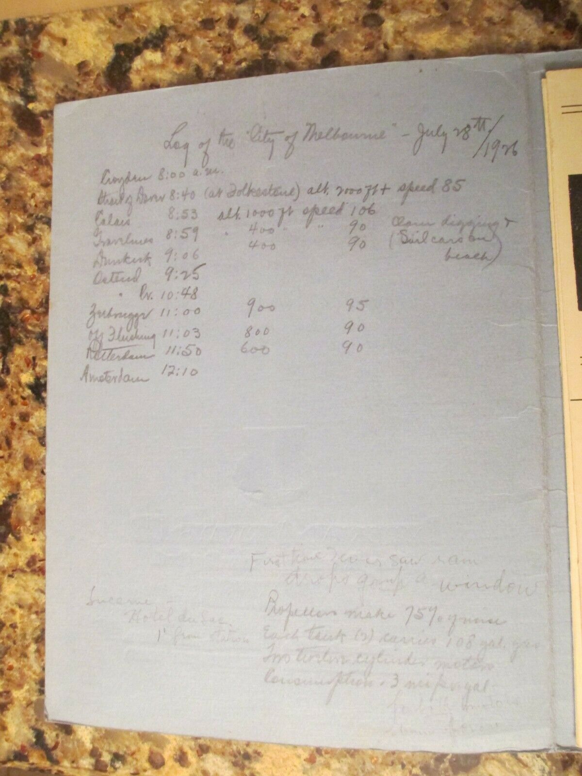
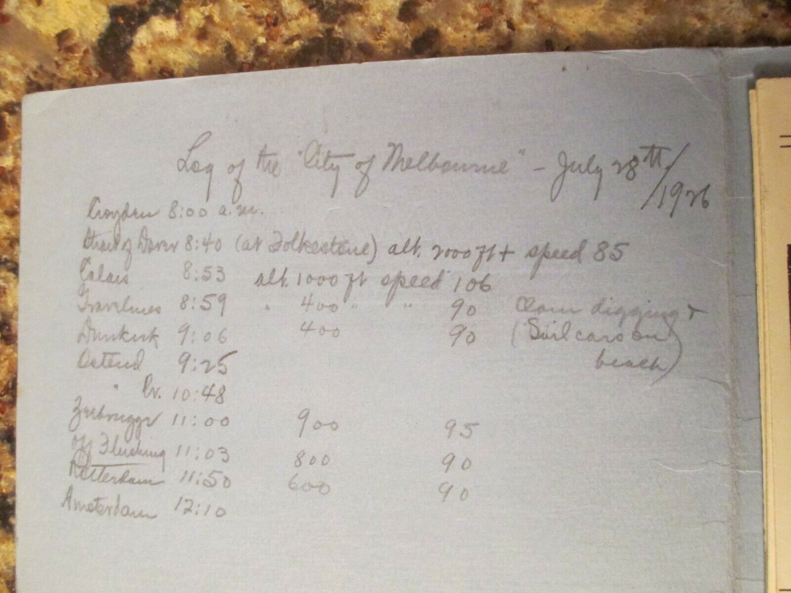
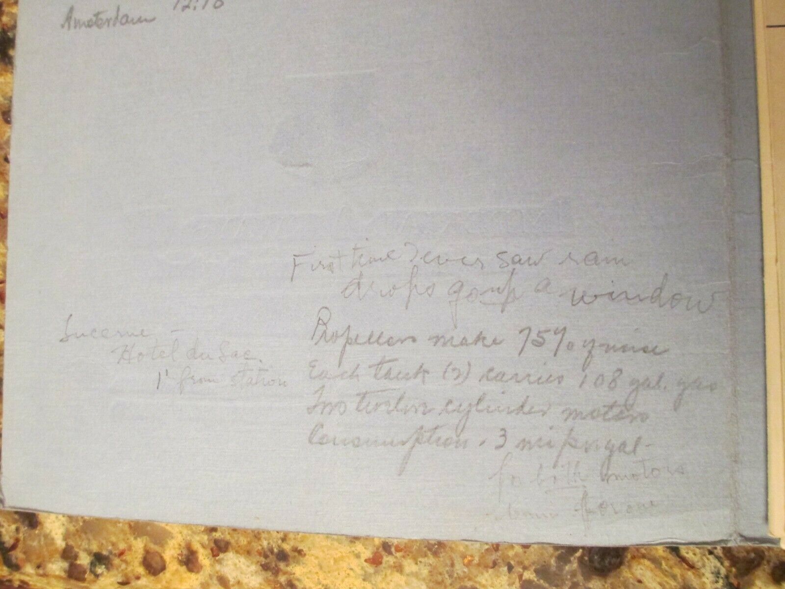
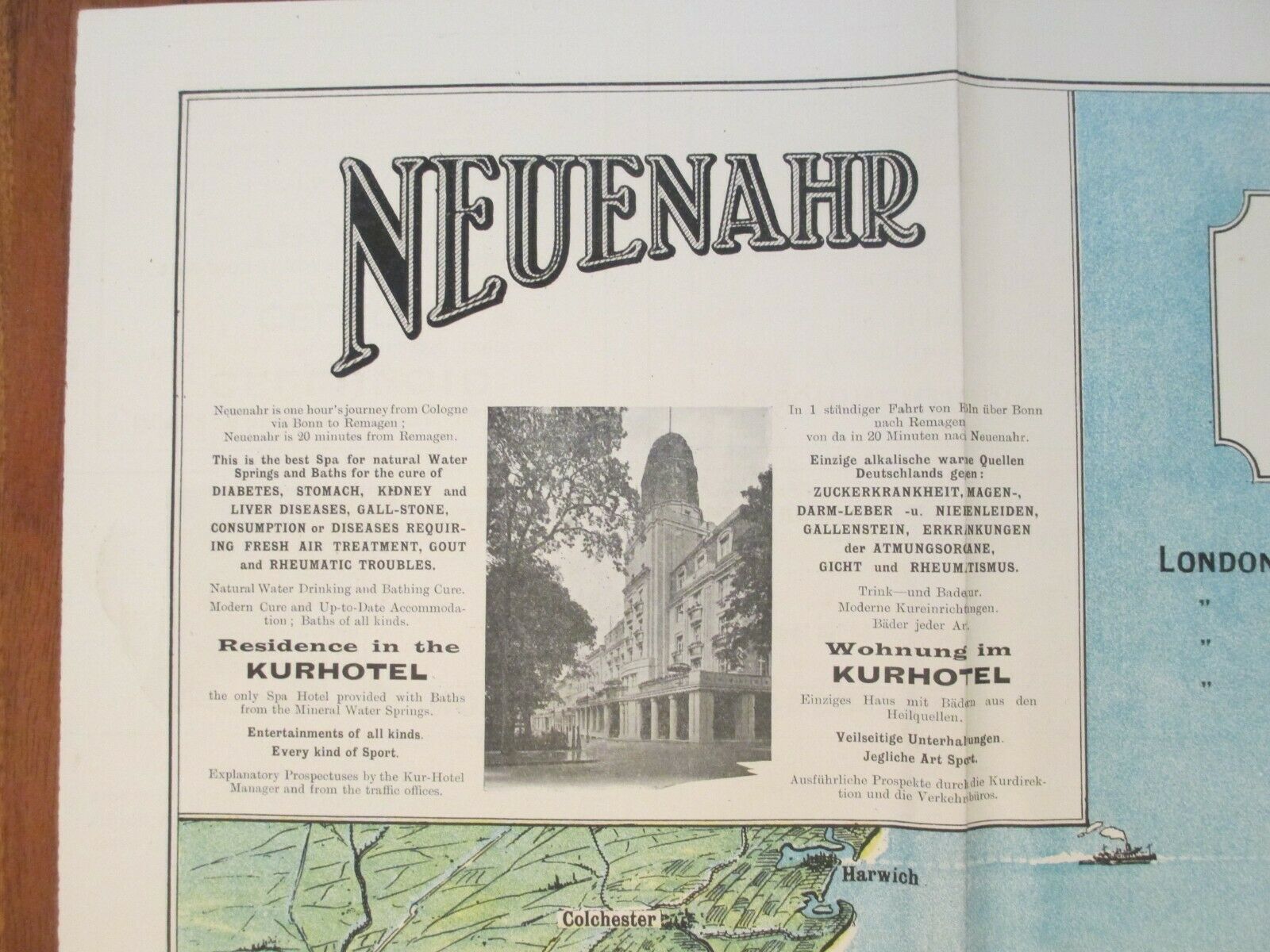
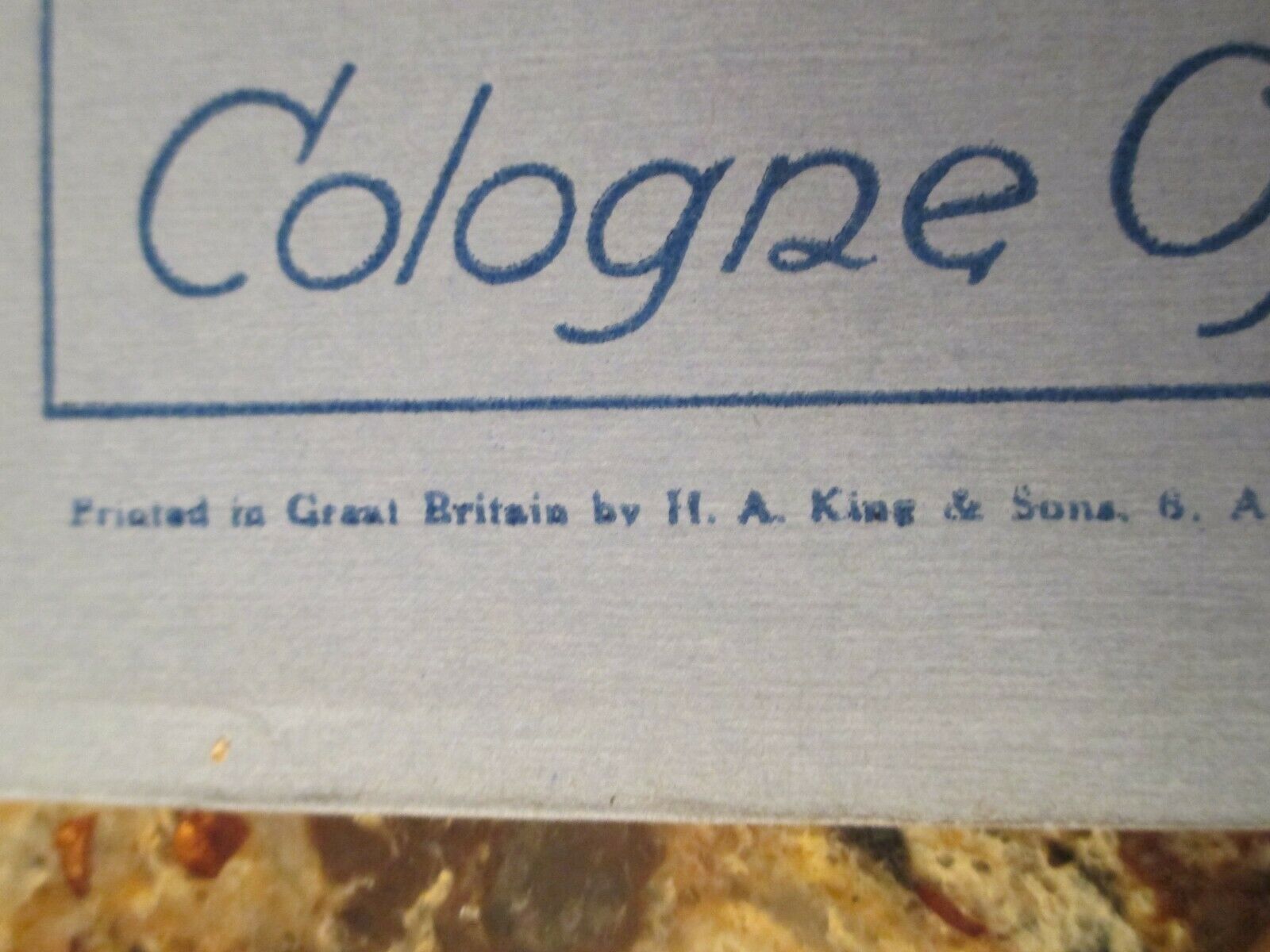
This auction is for one (1) vintage Imperial Airways map of the London - Ostend, Brussels, Cologne and London - Amsterdam routes. The map folds out from within the outer blue cover. The expanded map measures 30" wide x 20" tall. The map is in nice shape with only a few splits at the folds. The map has great color and content. The cover has some edge and corner wear and the front cover has a light crease down the center (top to bottom). The back cover has areas of white paper attached to it where the map had been affixed to a scrapbook page. The white paper is from the scrapbook - if the white paper can be removed, the original blue map cover paper is underneath.One intriguing part of this particular map is the information hand-written on the inside of the front cover. The hand-written notes chronicle the times and sometimes altitude and air speed of the "City of Melbourne" airplane as it flew over various cities during its flight from Croydon Aerodrome (England) to Amsterdam on July 28, 1926. The passenger also jotted down some other notes about the airplane (fuel capacity, noise, etc.) on the bottom portion of the inside cover.
See pictures.
Please contact me with any other questions. FREE shipping with Delivery Confirmation and insurance in U.S. only. Foreign shipment is only available through the eBay Global Shipping Program.

