-40%
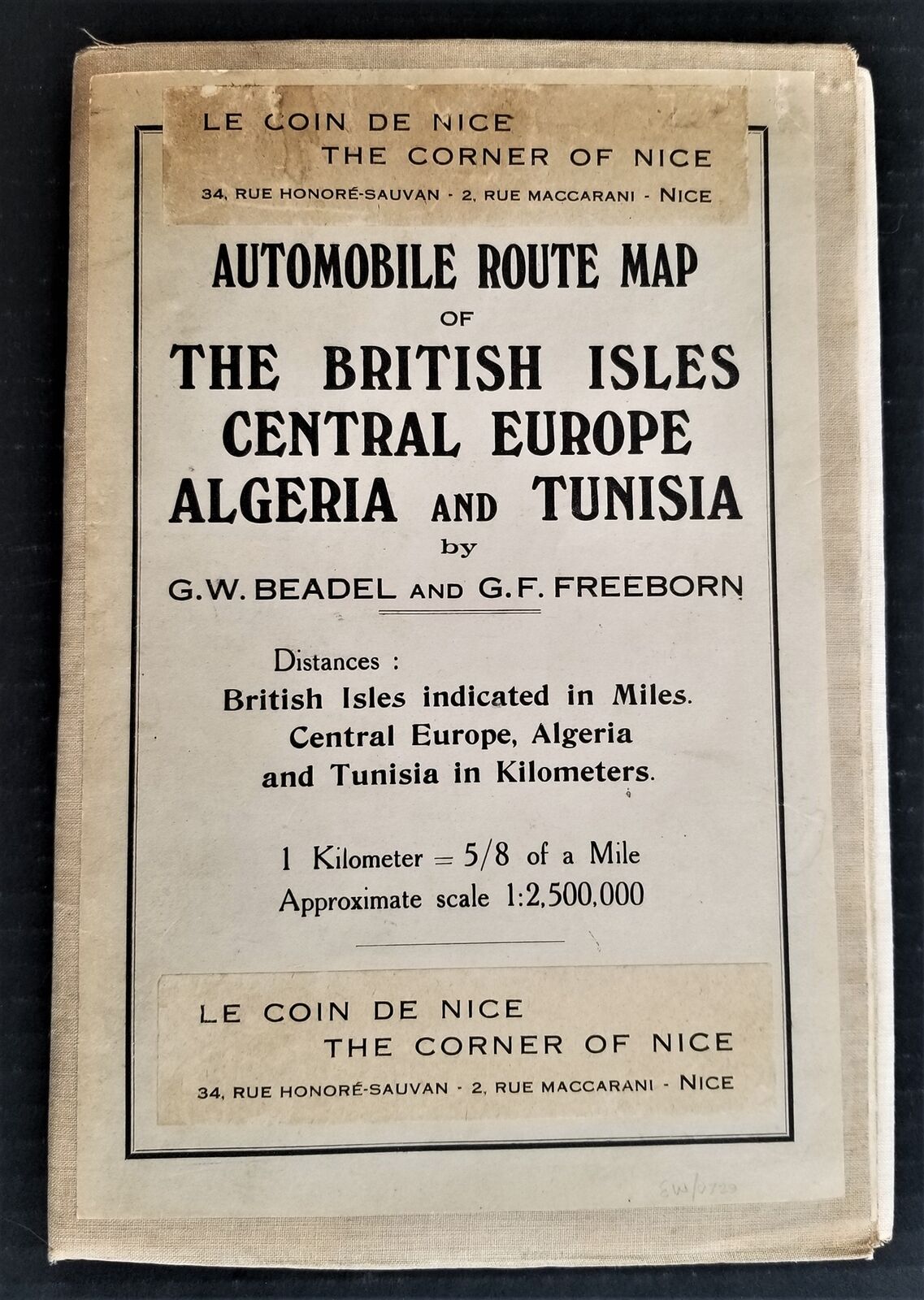
antique AUTOMOBILE ROUTE MAP BRITISH ISLES linen Central Europe Algeria Tunisia
$ 65.97
- Description
- Size Guide
Description
antique AUTOMOBILE ROUTE MAP BRITISH ISLES linen Central Europe Algeria TunisiaSCROLL DOWN for MORE PHOTOS
in DESCRIPTION
Click
HERE
to view or search ANTIQUE.COTTAGE listings.
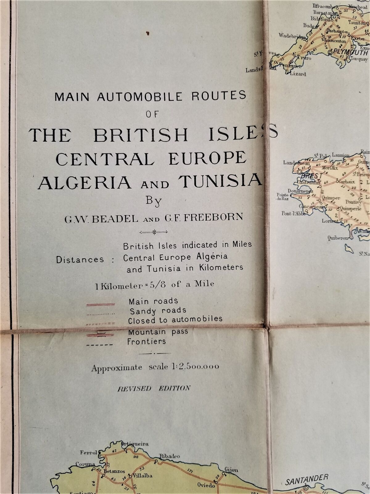
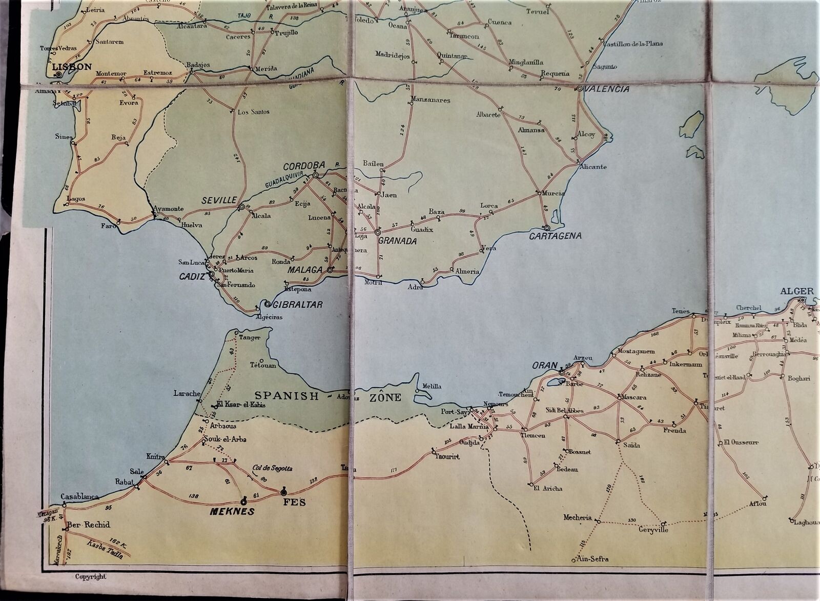
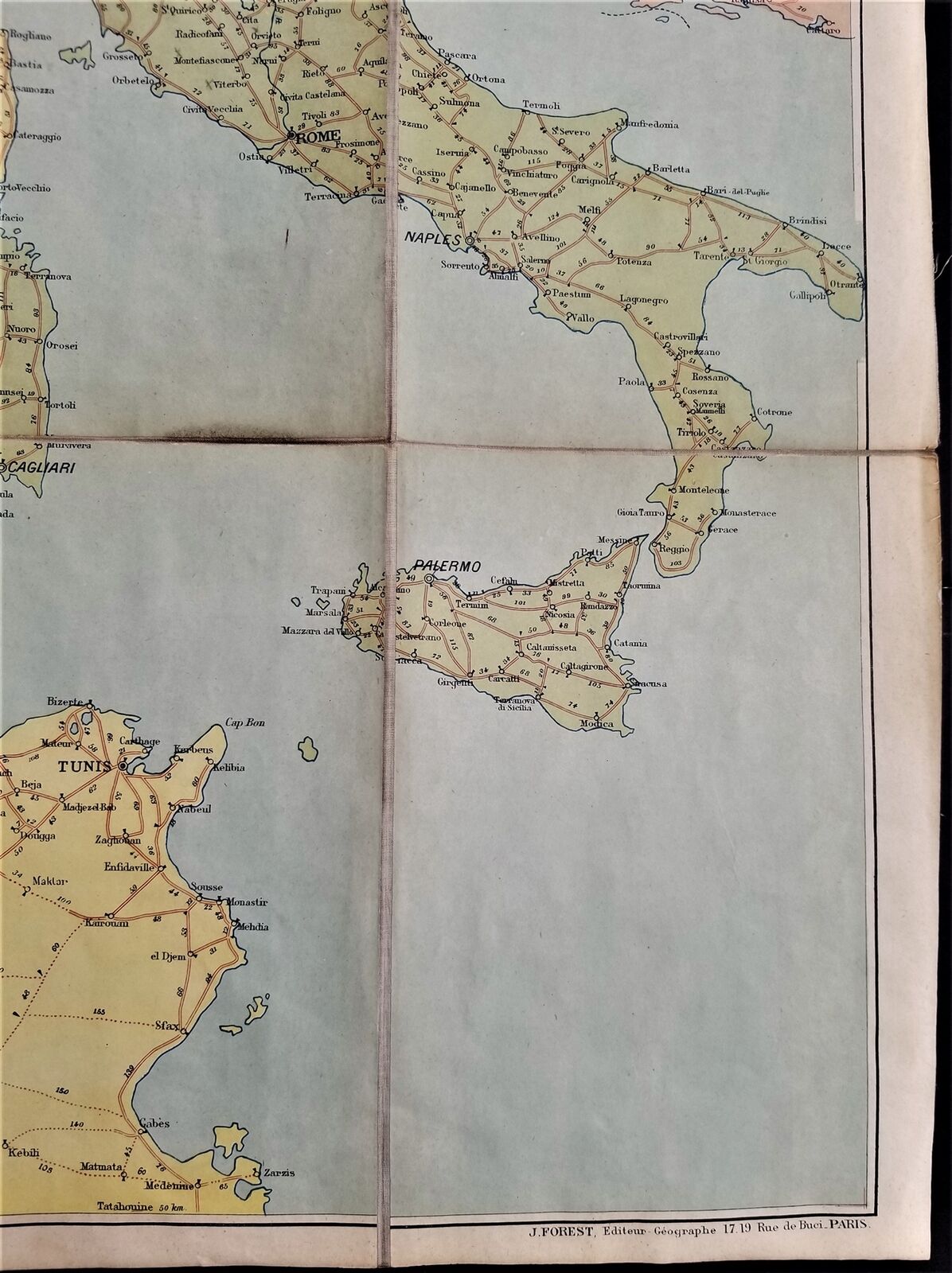
This listing is for the LINEN-BACKED large map shown. Beadel, G. W. and G. F. Freeborn. BRENTANO'S AUTOMOBILE ROUTE MAP OF THE BRITISH ISLES, CENTRAL EUROPE, ALGERIA AND TUNISIA. Paris: Brentano'. Large, folding linen backed map, printed in color and measuring 42 x 35 inches, folding to 10 1/2 x 7 inches. Printed label mounted to linen."British Isles indicated in miles. Central Europe, Algeria and Tunisia in kilometers."
Undated, circa 1925.
CONDITION
: Scroll FULL DESCRIPTION to see MORE PHOTOS.
- International buyers are responsible to pay VAT or other Taxes to their countries as required.
- eBAY collects and remits sales tax on behalf of several states. If you are a dealer, you can write to eBay to file a form to become tax exempt.
LOC:
LOC2:
BOOKBOX01-IN.SLEEVE-TMK
Powered by SixBit's eCommerce Solution

